The material
Sand
Quartz from the rivers
- Comes fromMearim and Parnaiba
- ColourWhite
- ResultA huge dune field
Guides
Language
Currency
Find open datesfrom $90 · cancel for freePick-for-me guide
Find your way into the dunes
Answer one or two questions and the matching trip from Barreirinhas appears.
Your top pick
from $90
Lagoa Azul and Lagoa Bonita with a restaurant stop and the sunset.
Your top pick
from $51
5 hours to the most visited lagoon of the park.
Your top pick
from $55
5 hours to the high dunes and the sunset view.
Is Lencois Maranhenses a desert? It looks like one and is soaked like a rainforest edge. Here is the science of sand, wind and rain behind the lagoons.
Editorial team, lencoismaranhensestour.quest · Updated November 11, 2026 · ~8 min read
Is Lencois Maranhenses a desert? It certainly looks like one. The state tourism office even calls it technically a desert full of white dunes, some up to 40 metres high.6 But by the measure scientists use, rain, it is nothing of the kind. NASA's Earth Observatory counts roughly 125 centimetres of rain in an average year and says plainly that the park looks like a desert but is far from it.1,7
An older NASA caption, written for an astronaut photograph, gave 1500 mm a year and made the same point: the wind and the supply of sand keep the dunes bare despite that much rain.8 The two figures differ, but both describe a wet place. ICMBio's management plan lists among the park's goals the protection of coastal dunes with many lagoons in a region of high rainfall.9 In other words, the agency that runs the park treats the rain as part of what it protects.
So the paradox is the whole story. A desert is defined by too little water; this one has plenty, but it all arrives in one half of the year. In the management plan's words, half the year brings heavy rain and the other half none at all.10 What you see on any visit depends on where in that cycle you arrive, which is why a visit in July and a visit in December can feel like visits to different countries.
The park in figures
| Measure | Figure | Source |
|---|---|---|
| Rainfall a year | About 125 cm | NASA, 2026 story |
| Rainfall a year | 1500 mm | NASA, older caption |
| Dune field | About 900 square km | NASA |
| Dune height | 30 m | NASA |
| Dune height | Up to 40 m | State tourism office |
| Dune movement | 4 to 25 m a year | NASA |
| Dry-season wind | At least 50 km per hour | NASA |
| Coastline | 80 km | UNESCO description |
| Species recorded | More than 850 | NASA |
Sources disagree on some figures, so each is shown with its source.1,8,18,21,6,3,22,23
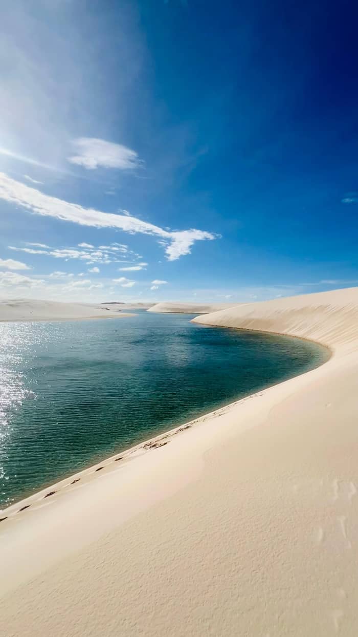
The Lencois Maranhenses dunes and lagoons begin with sand. NASA explains that rivers including the Mearim and the Parnaiba carry huge amounts of quartz sand to an unusually flat stretch of the Maranhao coast.2 Persistent winds from the equatorial Atlantic then drive that sand inland from the shore.15 Quartz is hard and pale, which is why the dunes stay so white and why the sand squeaks underfoot. Pick up a handful and you will see almost nothing but clear and white grains.
Over a very long time that supply has built the largest coastal dune field in South America, as NASA puts it.16 The UNESCO description held in Brazil's national register of protected areas adds that the expanse of stable and moving dunes records the evolution of coastal dunes through the Quaternary period.17 The field itself covers about 900 square kilometres, NASA adds, roughly the size of New York City.18
The dunes once reached even further. The same older NASA caption notes that the regular dune pattern can be traced downwind for more than 100 km beyond the present field, now hidden under dense forest.19 That buried landscape shows that the climate at the Equator was much drier in the recent geological past.20 The dunes you climb today are the active edge of a much older sea of sand.
The yearly cycle
Rainy season
Rainwater collects between the dunes.11
Under the sand
A partly impermeable layer stops drainage.4
June
Lagoon levels typically peak.12
August to November
The rains ease and the lagoons shrink.13
Dry season
Strong easterlies push the sand west.3
December
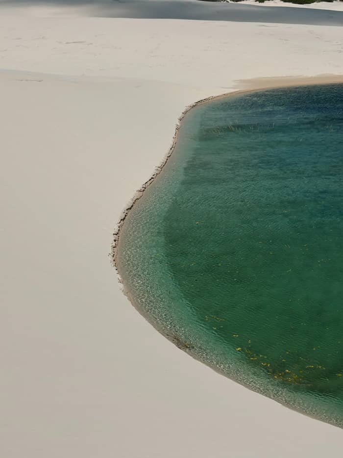
Wind gives the sand its shape. NASA's older caption describes the basic form repeated across the field as a crescent-shaped dune, and notes that where sand is plentiful the crescents merge into chains many miles long.27 The UNESCO description in Brazil's register says the same in technical terms: along an 80 km coast the prevailing winds shape the dunes into long chains of barchans.22
The wind also keeps them moving. In the dry season the easterly trade winds often blow at 50 km per hour or more, strong enough to pile up the dunes and shove them west by roughly 4 to 25 metres a year.3 Satellite images show the field creeping westward by about 0.5 km in some areas between 1986 and 2026.28 That constant motion is also why so little grows on the open sand.29 Plants that take root are soon buried or stripped bare by the next season's wind.
Look at the dunes from a high point such as Lagoa Bonita and you can read the wind. The long ridges line up across the field, and NASA notes that the lines of dunes were created by winds blowing from the north-east.30 On a windy afternoon you can watch fine sand streaming off the crests, which is the whole process happening in miniature in front of you. Shield your camera and your eyes when it does.
The ingredients
The material
Quartz from the rivers
The sculptor
Easterly trade winds
The water
The wet half of the year
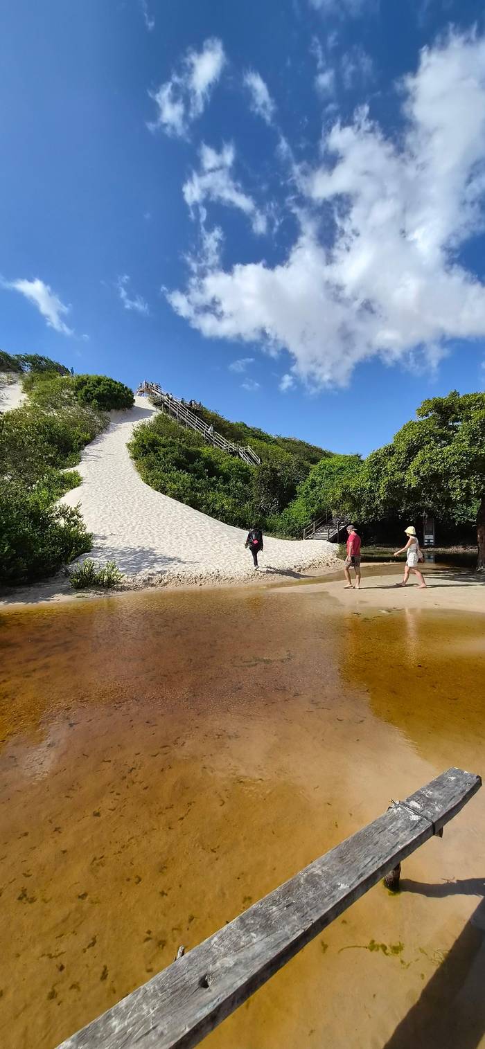
Then comes the rain, pooling in the troughs between the sand ridges, as the EU's Copernicus programme puts it.11 Why it stays there is the clever part. Under the sand, NASA explains, lies a layer of bedrock and clay that water passes through only partly, so the wet season cannot simply drain the basins.4 The Lencois Maranhenses lagoons between the dunes are, in effect, rain held in a sandy bowl.
The UNESCO description in Brazil's register says the barchan chains fill in the rainy season to create lagoons of many colours, shapes, sizes and depths.22 The water peaks around June, NASA notes, and as the rains ease between August and November the water table falls, until by December most lagoons have dried.12,13 The same basins can refill next year, though the moving sand reshapes them.
Not every lagoon dries. A few are fed by rivers or sit in deeper basins: the Lagoa da Esperanca, where the Rio Negro meets the dunes, never empties and reaches 12 m at its deepest.34 The Lagoa da Gaivota near Santo Amaro, the state says, never dries at all.35 These permanent waters are part of why the park can support so much life between wet seasons, and they are the lagoons to visit late in the year.
Go and see it
Choose a day out and how many are going.
Compare 3 choices
Choose a day out and how many are going.
≈
View≈
View≈
ViewFrom-prices on GetYourGuide, shown at the ECB reference rate. Your exact price is confirmed during booking.
A lagoon that dries every year would seem a poor home for fish, yet fish are there. Some small species, says the state tourism office, outlast the dry months as eggs hidden in the sand.14 The trahira, a sharp-toothed hunter, goes further still: NASA explains that it digs down through the sand to damp mud, sleeps out the dry season there and resurfaces to hunt once the rains return.36 It is one of the strangest survival tricks in Brazil.
NASA counts more than 850 documented species in the park.23 Among them is the pininga turtle, Trachemys adiutrix, which the public use plan describes as endemic, threatened and the park's emblem.37 The management plan adds that the park lies on the migration route of birds from the Northern Hemisphere during their wintering season.31 Binoculars are worth the space in your bag.
This hidden life is a good reason for the rules you meet on any tour. No motorboat may run on a dune lagoon, and the whole park is closed to glass and to fires.38,33,32 A lagoon looks empty for half the year, but under the sand and in the surrounding scrub, a whole community is waiting for the next rains. Treat the sand as a living place and you will see far more of it.
Video
PBS Terra on YouTube · Your tap on play is what loads the video.
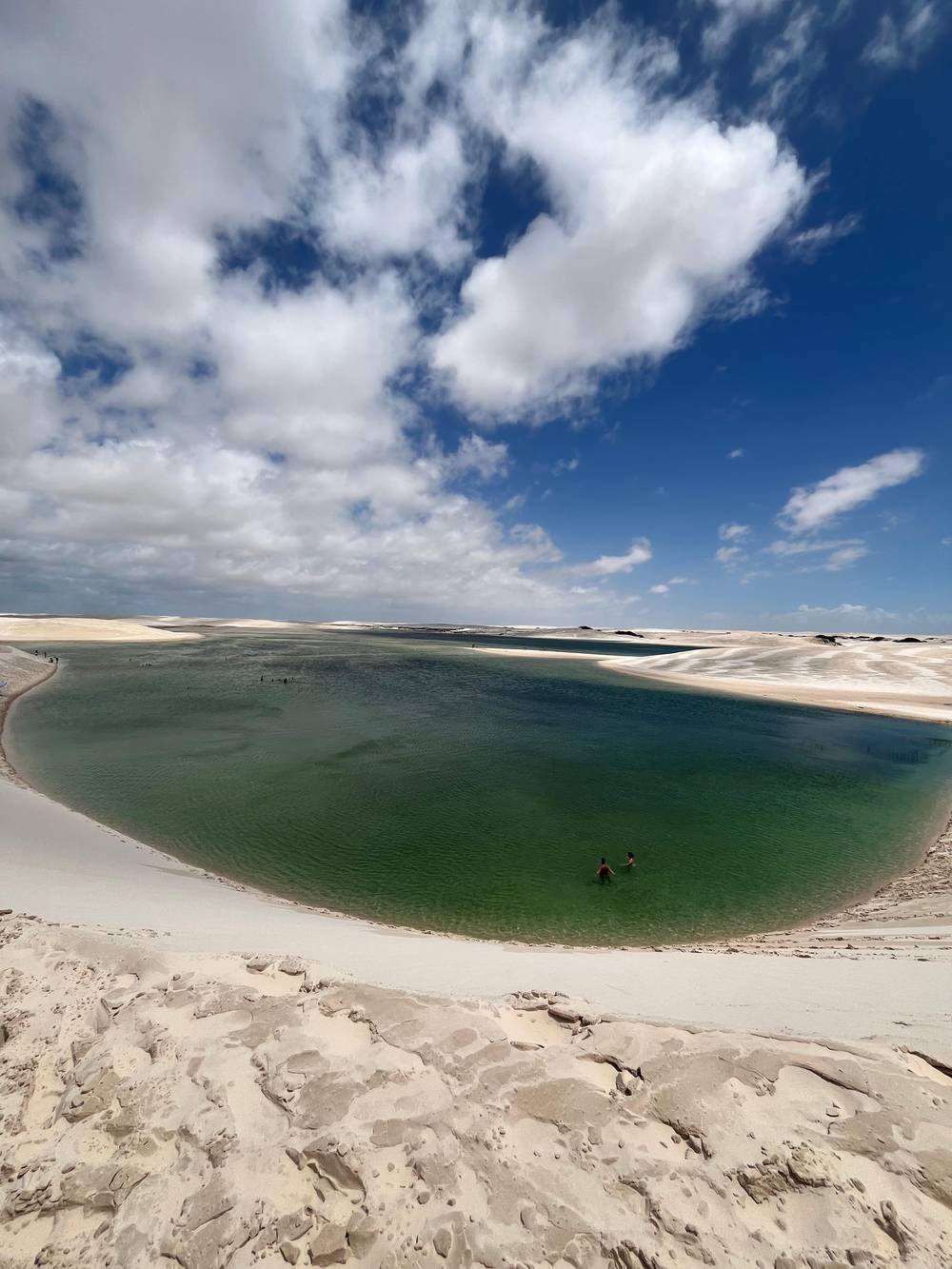
At first glance, the park looks like a desert, but it is far from it.
Field notes
The coast hides traces of an older landscape. Near Atins, the park plan describes outcrops of sandstone and paleomangroves, old mangrove forests that the dune field covered.39 When lagoon water drains to the sea it carries sand away and uncovers them, and in the wet months little waterfalls spill over the rock, above all where the Rio Negro reaches the sea.25 The dark stumps on the beach are the remains of that buried forest.
The name is easier to explain. NASA notes that it comes from the Portuguese word lencois, meaning bedsheets, an image that makes most sense from the air.5 Seen from above, the curves of the dune field look like a rumpled white sheet spread along the coast.16 On a scenic flight the comparison is obvious; on the ground you are walking across the folds, which is why the scale is so hard to grasp until you are above it.
Around the sheet, several worlds meet. The UNESCO description in the national register places the park in a transition zone between the Cerrado, the Caatinga and the Amazon.40 That mix shows in the green fringe of restinga and mangrove around the dunes, and in the variety of birds, fish and plants for a place that, at first sight, looks empty. The edges are where most of the wildlife lives.
The dunes were protected long before they became famous. The national park was created by decree on 2 June 1981.41 In 2024 it joined UNESCO's World Heritage roll, honoured for its geology and its wildlife, NASA notes.42 ICMBio, the federal agency for protected areas, manages it today, with 156,608.16 hectares under its care.43 Accredited guides and drivers work under its rules.
Protecting a moving landscape means protecting the process, not just the view. The management plan lists the natural dynamics of the free and fixed dune fields among the park's aims, and keeps motorboats off the lagoons.44,38 ICMBio bans private cars, motorbikes, buggies and quad bikes inside the park, allowing only accredited vehicles to carry visitors.45,46 Every visitor who books through them shares in that responsibility.
For you as a visitor, that translates into a few simple habits. Follow the tracks your guide uses, keep off fragile vegetation at the edges of the dunes, carry out everything you carry in, and leave the fish and turtles in peace. The lagoons will form again next year whatever you do, but the life that depends on them is more fragile than the sand. A careful visit is the best way to say thank you for the swim.
FAQ
It looks like one, but about 125 cm of rain falls each year.1
Bedrock and clay beneath the sand let little of it through.4
The Mearim and Parnaiba deliver quartz sand to the flat coast.2
Dry-season winds push them about 4 to 25 metres a year.3
Sources
Up next
Which lagoon circuit, which month? Ask a real person.